
Request to manage the profile forget the event
CLOSE
It will proceed to request for Administration of this profile. Your request will be evaluated. We will contact you shortly
I declare that I will properly manage the information contained in this profile and I accept the Terms of Service
EDITION
Info
Organization
Federación Extremeña de montaña y escalada
Circuit
Camina extremadura
Valoration
Rate event
My valoration
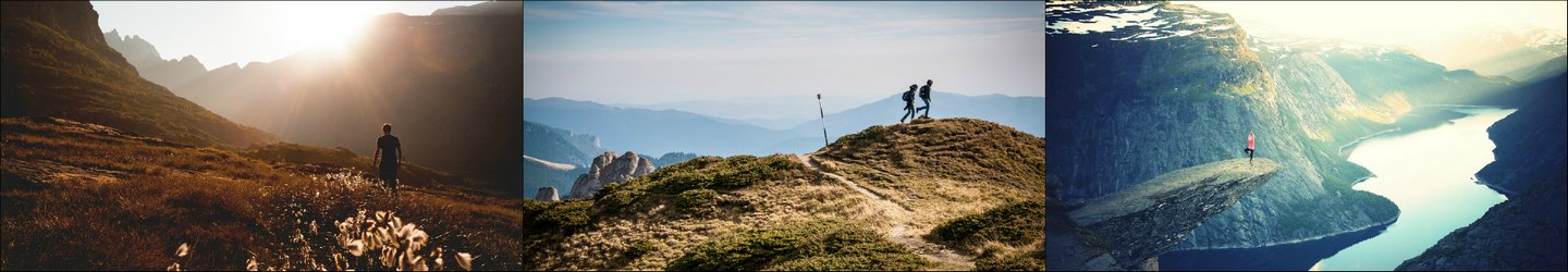
Se trata de una ruta de 18 kilómetros, de dificultad media, que transcurre por las proximidades de la localidad y permite conocer y disfrutar de parajes de alto interés histórico-paisajístico como las pinturas rupestres de La Calderita, la sierra de Peñas Blancas, el pinar de los Balancines, la sierra de Juan Bueno y las minas de Tierrablanca.
La organización ofrecerá una ruta alternativa de 15 kilómetros para aquellas personas que no puedan realizar la subida a la sierra.
La citada prueba transcurre por un sendero homologado (PR-BA 47) por la Federación Extremeña de Montaña y Escalada y pertenece al Circuito de Rutas Senderistas "Camina Extremadura "
WIDGETS · Select the Widgets you want to display prominently | The order of selection is as it will be displayed in the profile CLOSE
Widgets are displayed in the same order in which they were created
p
Price
No associated fees
l
Location
La Zarza
(España)
(España)
GPS
-6.217687 · 38.818561
-6.217687 · 38.818561
M
Modalities
Senderismo 18 km
Senderismo 15 km
More information
m
More information

---

---

---

---

---

---
O
Other eventsThis administrator does not have more events
R
Routes
No other routes assigned
Information about all routes